$13.41 off RRP of $268.30
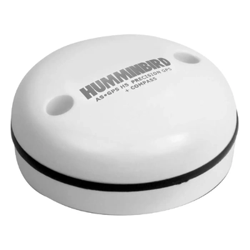
$892.05 $939.00
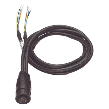
$227.91 $239.90
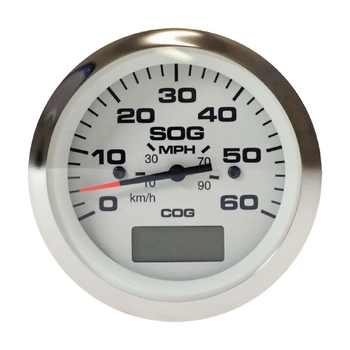
$446.41 $469.90
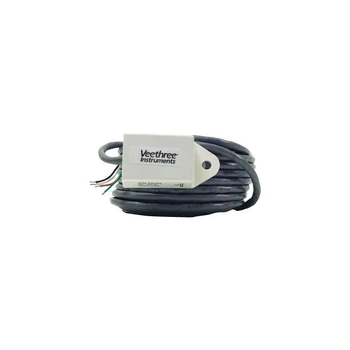
$351.41 $369.90
$201.83 $212.45
$205.63 $216.45

$474.91 $499.90
$619.00
Marine GPS chartplotters combine satellite position data with compatible electronic charts to help with route planning, waypoint management and navigation monitoring from the helm. They are used on fishing boats, trailer boats, cruisers and yachts, but the right model depends on screen size, chart format, mounting space, transducer options, power supply and whether it needs to connect with radar, instruments or other electronics. Check product specifications, Australian chart availability, networking requirements and full installation details before purchase and confirm chart coverage for the waters you use most.
A chartplotter receives GPS position data and displays it on a compatible electronic chart, allowing the skipper to see vessel position relative to coastlines, reefs, channels, buoys, anchorages and other chart features. It can also store waypoints, create routes, track ground speed and course-over-ground, and on units with sonar inputs display depth and bottom information alongside the chart view.
For marine gps chartplotters purchases that depend on fitment or setup, the GPS and Chartplotter Buying Guide explains screen size, mapping features, mounting position and navigation setup.
For a wider view of navigation categories, compare marine navigation before selecting a specific display. Chart coverage and boating charts compatible with the unit should be checked before purchase.
Screen size affects readability from the helm and how much chart detail is visible at a glance. Smaller displays typically 5 to 7 inches suit compact consoles and trailerable boats where space is limited. Mid-range displays in the 9 to 12-inch range are common on fishing boats and day cruisers. Larger screens are typically used on flybridge cruisers or as part of a twin-display helm layout.
Beyond size, consider controls whether touch, keypad or hybrid suits the way the helm is used in spray and wet conditions. Sonar integration, NMEA networking, AIS overlay and radar integration are all features that vary by model and price point. Check what is included and what requires additional hardware.
Chartplotter usefulness depends on compatible, current chart data. Many units include a base chart but require a compatible chart card for detailed coverage of Australian coastal and inland waters. Check which chart brands and formats are compatible with the unit, which regions are covered to the detail required, how updates are managed, and whether subscriptions are needed. For fishing, check whether the chart data includes sufficient depth and underwater feature detail for the areas where you fish.
Keep chart data current. While electronic charts can be more convenient to update than paper charts, the need to use current, accurate navigation data does not change. Check chart update options and costs before committing to a unit.
Many chartplotters can connect with marine radar and marine instruments through a shared network, but compatibility depends on the network standard, cable types, software versions and whether the units are from the same or compatible systems. Review manufacturer documentation carefully before assuming integration will work. A qualified installer can help plan a connected system and confirm compatibility before equipment is purchased.
Before purchasing, measure the available mounting space and confirm the panel cut-out dimensions, power requirements, cable routing options and transducer position if sonar is planned. Consider whether the display position allows viewing from the normal helm position without obstruction. In Australian sun conditions, screen brightness and anti-glare coatings are practical considerations alongside navigation features.
A chartplotter is a valuable navigation tool, but it does not replace safe navigation practice. Use current charts, apply local knowledge, keep appropriate backup references and make decisions based on the full picture not the chartplotter screen alone.
A marine GPS chartplotter displays vessel position on compatible electronic charts and helps with route planning, waypoint marking, course monitoring and navigation awareness. It does not replace safe navigation practice use it alongside current charts, local knowledge and appropriate seamanship.
Consider screen size for the helm position, chart compatibility and Australian coverage, controls (touch or keypad), sonar options, network connectivity, power requirements and mounting space. Check what is included with the unit and what requires additional hardware before purchasing.
Chart inclusions vary by product. Many units include a base world chart but require a compatible chart card for detailed Australian coverage. Check which chart brands and formats are compatible with the unit, which regions are covered at sufficient detail, and how updates are managed before purchasing.
Some chartplotters can connect with radar, instruments and other electronics over a shared network, but compatibility is not universal. It depends on the network standard, cable types, software and whether the equipment is from compatible systems. Check manufacturer specifications and review documentation before assuming integration will work.
Yes. A chartplotter is a useful navigation tool but chart data can be outdated, GPS reception can be lost and electronics can fail. Appropriate backup navigation methods, current charts for the waterway, and local knowledge should always be part of the navigation approach.
ABN: 99 423 721 756